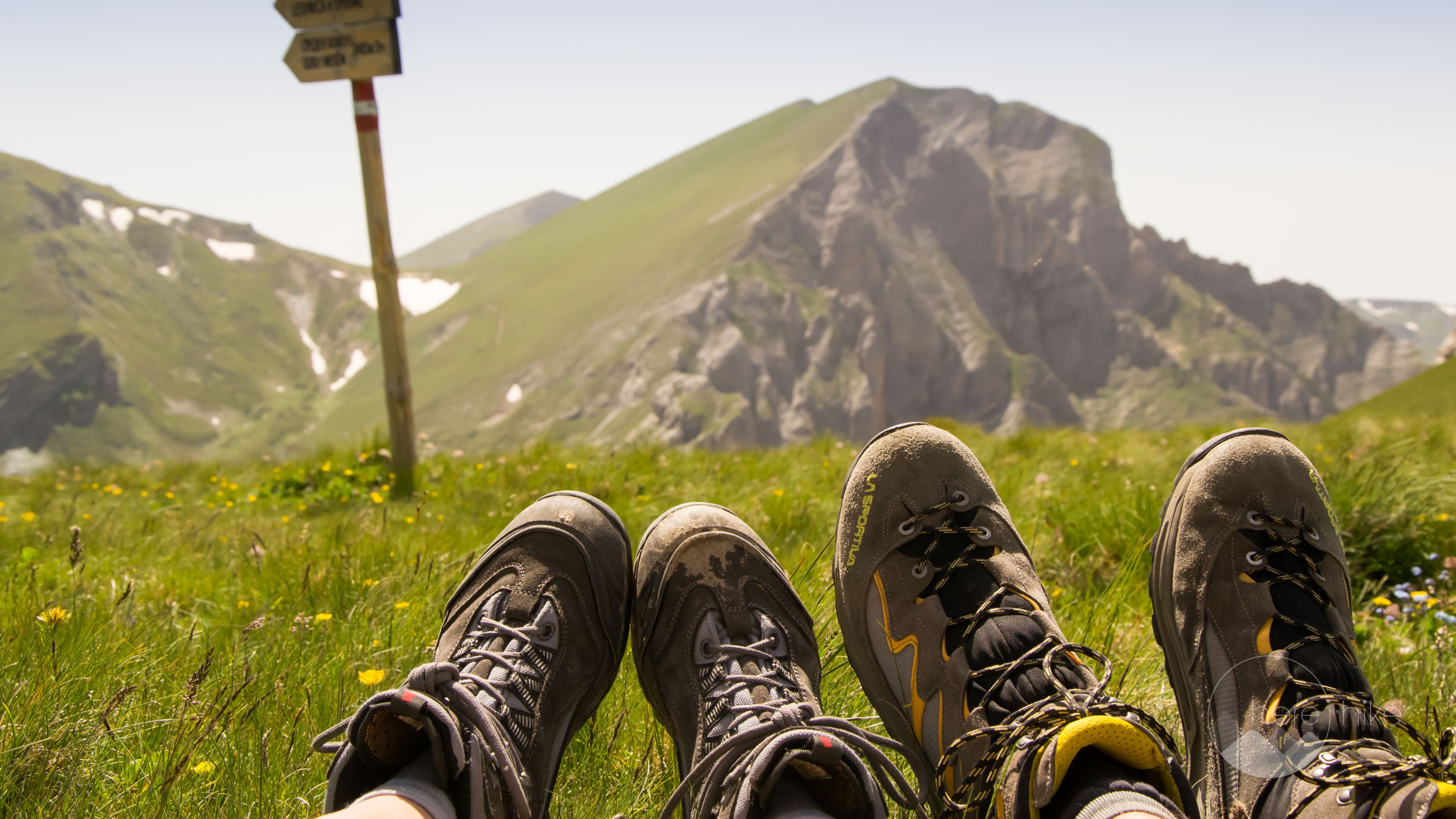
04 Oct How not to find your way to Titov Peak – North Macedonia
We set to the road thinking we will return to North Macedonia in order to reach the destinations we didn’t manage to get to four years ago. This was the plan for our 4 days mini holiday, to hike to Titov Peak, an emblematic mountain in the north-western part of the country.
Distance
25 Km
Total Time
9 h 20 min
Active Time
8 h 22 min
Vertical Relief
+1100 / -1100 m
Min/Max Altitude
1450 – 2200 m
Average Speed
2.4 km/h
Hike to Titov Peak
Long story short, we were in North Macedonia four years ago, in the same month if I recall and on our itinerary, we had Titov and Korab peak. We didn’t reach Titov because we had a late start in the morning and we had no time to make it to the top and back. We also failed to make it to Korab because there was still a lot of snow in the valley before the peak and a storm was closing in around us.
Starting with that trip to North Macedonia the Romanian version of the blog also came to life, www.prinlumepringanduri.com. In the beginning, we didn’t have so many details about trails, markings and so on but let’s focus on the current trip now.
At 8AM we had already packed and we were on route to the peak, after walking mindlessly a few time on the 100 paths and roads of the resort. Do note that even though we found the starting point eventually we got lost shortly after at the first intersection.
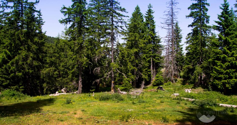
On the plateau, right above the resort, the path splits in two directions without any signs and both of them have the same markings. To the right, you will reach the forest and to the left, you will get to some communication antenna. Of course, we went right thinking that the road to the antenna is not the correct one but guess what? We were wrong! We did a 9 kilometers detour that made us lose 3 hours time and got us mad. If at first the track looked like the one we have been on four years ago later it ended up in a forest, constantly alternating between uphill and downhill. The markings were really good and new but the path was full of vegetation and fallen trees, not at all tourist friendly. After one and a half hours of twisted ankles, we decided to turn back and search for the right path.
Finally, we found the right direction but we were aware we might not reach the peak this trip either.
As a solid orientation marking use the telecommunication antenna as the hike starts from it and it is pretty easy to find it.
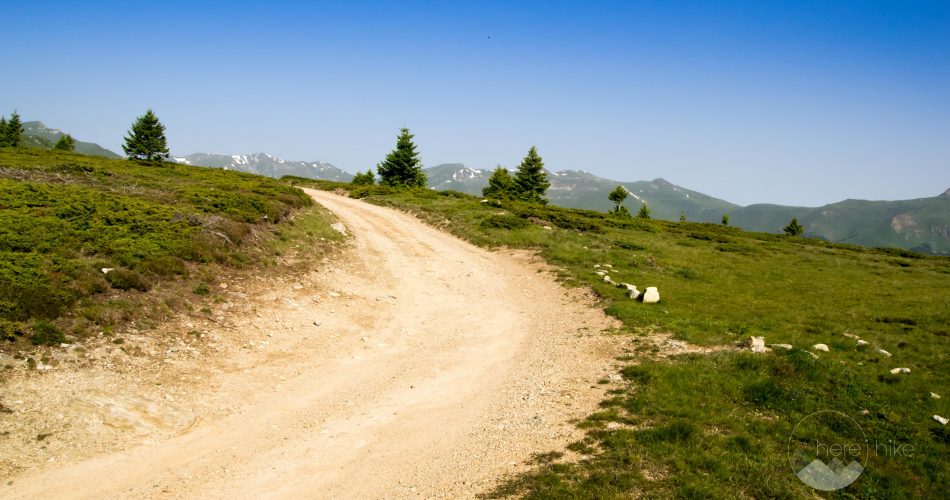
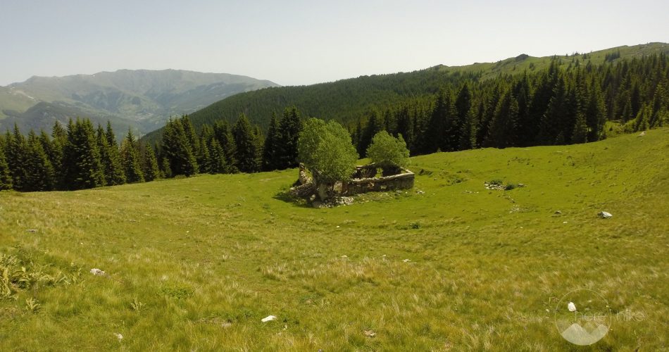
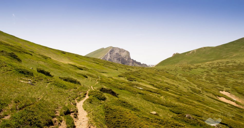
From the antenna, the path is pretty flat and follows a road that will take you close to a sheepfold located on the right side. Another landmark you can use as orientation are the ruins of an old sheepfold.
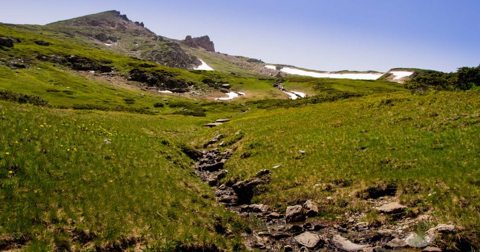
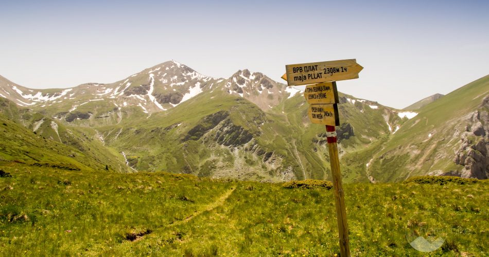
From the active and inhabited sheepfold, you will see the marking on the left gaining altitude and zig-zagging in the direction of the first peaks.
The sheepfolds in North Macedonia are similar to the ones in Romania, where the shepherd has a bunch of big and not so friendly dogs around, so pay close attention. All I can wish you is that the shepherd is close by. We found a sheep herd on our way and we were surrounded by about 6 dogs, all barking and showing their tusks. We were in luck as the shepherd was close and he ran to us to calm his dog and to escort us through the herd. We got pretty scared there.
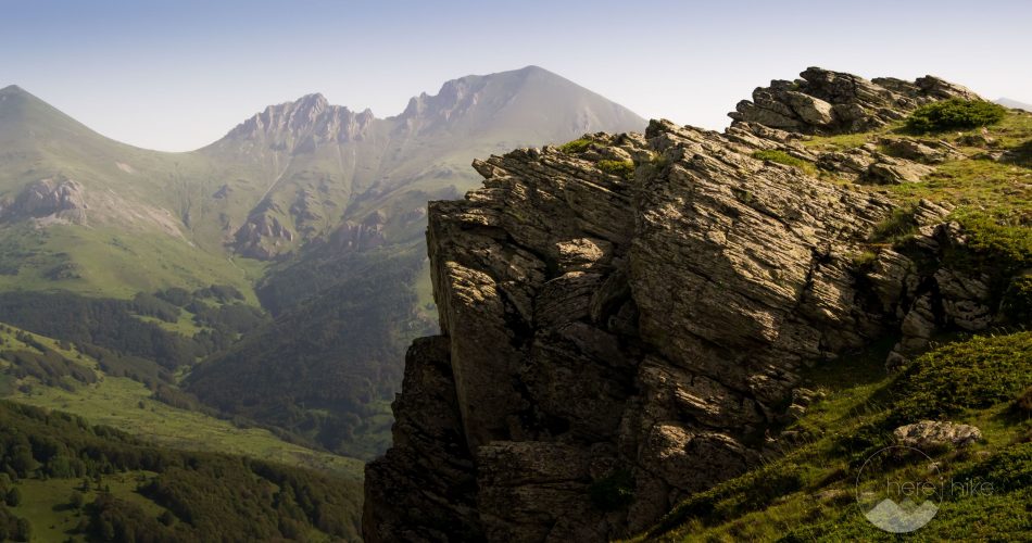
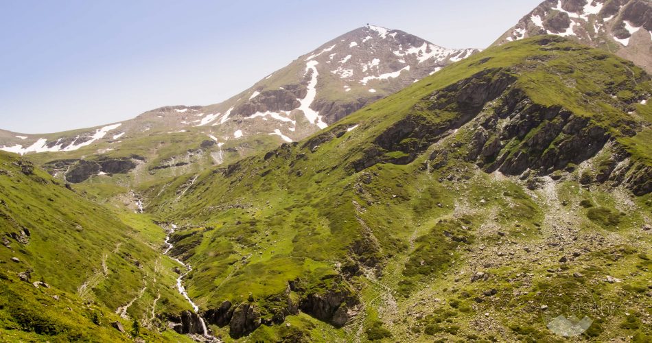
We continued our ascent on the same markings and in a short time we saw in the distance Titov peak which is really easy to recognize as it has a tower on its peak.
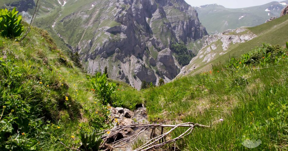
From this saddle, the sign indicated 3 more hours to the top. The good news is that the peak is close but the bad news is that you need to descend into a valley and ascend a lot back. Unfortunately that mean it would be a 6 hour round trip from this spot to the peak and it would mean we would reach the sheepfold close to sunset. With all those dogs around we thought that would be a terrible idea.
I can’t believe that we are the second time here and we will not reach the peak!!! What a disappointment! After some negotiation and recalculating our daylight time left we decided to retreat, the second time, with our head lowered. We ended the evening drinking a beer in the capital city, Skopje and we permanently took Titov of our list.
GPS track to Titov Peak
How to get to Titov Peak?
Where to sleep?
Because we had packed all our stuff on Thursday evening we managed to get on the road on Friday, lunchtime, at about 14:00. We left so late because Alex had to work but his company has a short Friday working program. After many hours on the road we finally reached the camping spot we found on Google Maps. This is located on the left side of the road, 1-2 kilometres prior to the sky resort Popova Shapka, in a parking spot that has picnic tables and the sorts.
Side note: there are no camping facilities in the area so we had low expectations we would find any “cool” spots. Our main goal was to find a place to sleep which was cheap or free and to be as close to the sky resort as possible so we wouldn’t lose any time in the morning. As far as we knew the hike was pretty long, at about 12 hours time.
We slept pretty safely as we were well guarded by a pack of 6 stray dogs that were also catching some shut eye in the parking place. The good part was that after a few barks both groups involved hit the IGNORE button. We took no pictures because of the large amounts of garbage which were everywhere, even though the place looked good (I presume the dogs were scattering the garbage from the bins, besides people littering). There is also a freshwater spring here that you can use to refill your reserves.
Good to know
Popova Sapka is a pretty big ski resort in North Macedonia and you should have no problem finding proper accommodation. The same goes for food, but be mindful that for this hike you will not encounter any mountain huts. You can eat and drink only what you bring with you. Also there might be a few sheepfold along the path that have many dog, just be careful.
Hope you found the information helpful and accurate, but remember, if you have any questions drop them in a comment below!
Other great adventures
-
Transylvania MTB Ride: Sirnea
If you’re planning to visit Transylvania, particularly Brasov area and you’re also looking forward to some beautiful mountain biking routes, we totally recommend this one. A nice 50 km ride will enter...
-
Cycling around Dracula’s Castle – Piatra Craiului National Park
Dracula's Castle, an international landmark, is probably one of the most visited places in Romania but we are not going to talk about that. Nevertheless, we are going to talk about the cycling opport...
-
Italian Dolomites: Via Ferrata Giovanni Lipella (4C)
Via ferrata Giovanni Lipella is one of the most emblematic routes in the Dolomites. Not only are the views breathtaking but also the ferrata is a bit more challenging due to its length, altitude and e...




No Comments