
18 Aug Tatra Hikes: Bystra Lavka Circuit in Slovakia
If you are planning something that is not so demanding but at the same time that will make you cheer with joy at the sights you will discover then I strongly recommend the Bystra Lavka Circuit in Slovakia. This full day hike will not take you on an actual peak, but it will get you up at more than 2300 meters through a high mountain crossing.
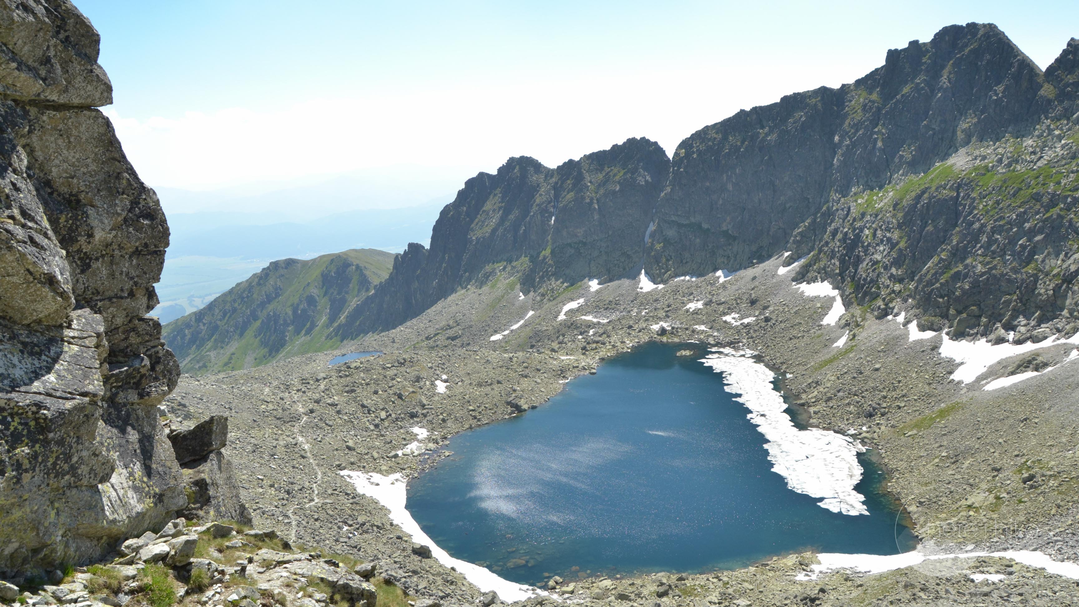
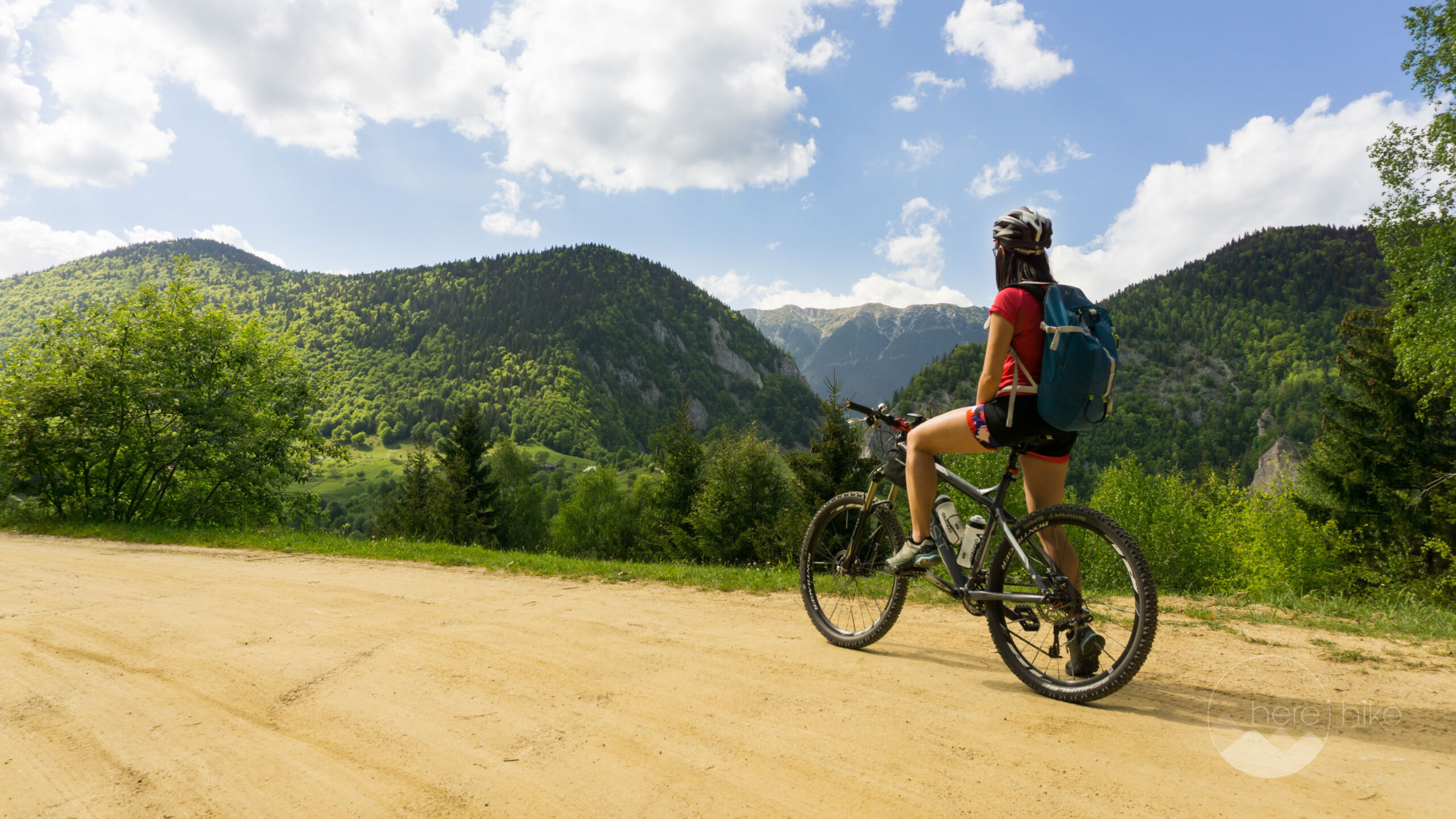
On your way, you will cross more than 7 mountain lakes, one more beautiful than the other and each with a specific beauty that is hard to match. Some lakes have really intense blue colours while others, even though you might go hiking in the mid of July, will be full of ice and have a water temperature of 0 degrees during the day. The Slovakian High Tatra mountains look more like the Alps, even thought the altitude is set at a maximum 2600 meters, with sharp and rocky edges and vast glacial valleys, but you must experience them first hand to truly feel their beauty.
Distance
16 Km
Total Time
9h 00 min
Active Time
7 h 49 min
Vertical Relief
+1000 / -1000 m
Min/Max Altitude
1345 – 2363 m
Average Speed
2.4 km/h
Hike to Bystra Lavka
If you chose not to pay 10 euro for the more expensive parking place then from where you left the car you will have to walk 1 kilometer more until the starting point of the hike from where you follow the yellow tape markings 
The first part of the track is through a section of ravaged forest remains full of dead trees that have been caused by some big wind storm in 2004 and again in 2010. The Slovakians are working on restoring the area to its former beauty but it is no easy task as the dead tree have multiplied dramatically the insect population that is now attacking healthy trees too, but hopefully they will manage to overcome the situation.
Up next you will pass through a healthy forest section after which you enter the juniper fields that will accompany you until reaching Skok, an 82 meters high waterfall. The hike until this point will be about 3.5 kilometers long and the altitude gain of 350 meters.
You will continue on the left side of the waterfall and slowly ascend over it where you will find a small lake “Pleso nad Skokom”. From here the trail continues through a vast glacial valley and the landscape is taken over by rocks and huge boulders. Also, you will start gaining altitude at a more rapid pace.

After 1 more hours of walking, you will pass close to another mountain lake but unfortunately I could not identify its name. Continue on the foot path for one more hour and after a rocky and steep climb you will reach the beautiful Capie lake.
The track continues up, on the left side of the lake, in the direction of Bystra Lavka mountain pass. As you gain altitude you start noticing another lake, Okruhle Pleso, that most probably will be full of ice and its water temperature will be close to 0 degrees even during the hot summer days. When you reach the top you will have a small section with chains that help with the climb, but nothing very technical. From the top of the pass, at 2306 meters altitude, on the other side, you will have a great view over both valleys and over a new lake called Vyšné Wahlenbergovo that is also partially covered in blue ice.
From the pass, you will go only downhill for about 4.5 kilometers, going close to Vyšné Wahlenbergovo and afterward, further down, another lake – Nižné Wahlenbergovo. All these lakes have something unique to offer so take some time and enjoy the view. Continuing, you will soon leave all these fascinating crystal water holes and enter the juniper fields. These will keep you company for a good amount of time until reaching an intersection with the red tape track 
Here do a left turn and continue for 2.5 kilometers more until reaching Štrbské Lake where I encourage you to do the small tour on the southern banks. Continue through the mountain resort on your way to the parking place of the car.

There are many peaks and other interesting alpine tracks in the area but as we have previously specified you will need to check prior to departure if you are allowed to hike them without a permit or guide. Here is a pretty detailed map of the High Tatras with all of the hikes, markings and timings included. Unfortunately, it is not a digital version but you should be able to get a good idea of where you need to go to in the High Tatras of Slovakia.
Here are some other destinations we went to:
- Slavkovský štít – 2452 meters
- Rysy štít – 2503 meters


GPS track to Bystra Lavka
How to get to Bystra Lavka?
Getting to Slovakia is pretty easy especially from Timisoara now that the Romania – Hungary highway is open. In total, we drove approximately 600 kilometers out of which 350 kilometers were on highways and it took us roughly 8 hours for the whole trip including coffee breaks. In Hungary, we drove on M43, M5, M0 and finally on M2 after detouring Budapest. We have entered Slovakia through Sahy and made our way north through Zvolen, Banská Bystrica and Štrba before reaching our final destination Tatranská Štrba. We chose to avoid highways in Slovakia as there are quite a few of them on this itinerary and it isn’t really worth it to pay the 10 euros (per 10 days) for the vignette.
To reach the starting point of our hike to Bystra Lavka from Tatranská Štrba we will go to Štrbské Pleso, a cosy mountain resort some 9.5 kilometers away, where we will leave the car at the big parking lot on the right side of the road for the price of 6 euro per day. If you choose to walk 1 kilometer less you can park at the far end of the road but the tax here is 10 euro per day for each car.
Where to sleep?
For the Bystra Lavka Circuit, we chose Autocamping Tatranská Štrba in Tatranská Strba as a base camp from where did all the hikes in the High Tatras. The place is pleasant and the prices are fair, summing up at 15 euros per two persons, tent and car per night. The toilet facilities could be cleaner but at least they have hot water at the showers and sinks. Other than this, the camping is ideally located with many hikes routes at 10 to 20 kilometres away.They even have a playground for small children and you can park you car next to the tent. The camping has a common kitchen with stoves, plates, glasses, silverware, a fridge you can use and there are many places you can sit and enjoy your own food if you bring it with you. If you would like to have a barbecue there is a grill available but I am not sure if they offer firewood or if you have to bring/buy your own.
There are a lot of other accommodations in the area with prices from really cheap to expensive, depending on your personal needs and budget, but in terms of campings the offer is low and we found this one to have the best location for our needs.

Good to know
- Before planning a mountain trip in Slovakia search what peaks are open for visiting and don’t require a mandatory mountain guide. For example the highest peak, Gerlachovský, is closed to visitors and you require either a professional mountain guide or to be part of some hiking club with prior approvals from the Tatra Park officials. There are other high peaks that fall under the same rules. Find more info on the Tatra National Park Official Site.
- Wild camping is strictly prohibited in the Tatra Park and you risk a high fine if you are caught. Same thing applies for littering, bathing in glacial lakes, building a campfire or picking flowers.
- In general, but mostly in Slovakia, pay close attention to traffic rules and watch you speed as there is a lot of police on the road. You will find speed radars everywhere and especially in resorts where the police tend to be located either at one end or the other of the village/town. If you feel the need for speed you risk a really high fine as recently they have been increased and are close to the ones in Austria or Switzerland.
- In contrast to some other European countries, you should know that the alcohol tolerance in Slovakia is 0% so don’t even think you can get by with a beer on board.
- Pack plenty of water with you while hiking the High Tatras as there are not many water sources on route. During the summer months, some of the water springs might dry up and you don’t want to get caught with no liquids high up in the mountains.
You can eat whatever you bring with you or you can try out the restaurant that is on the camping grounds. I really recommend the place as the prices are really good and the food is extraordinary, especially the vegetarian and traditional Slovak dishes. A main meal is somewhere at about 3-4 euro, the soup is around 1 euro and a beer is 1.1 – 1.2 euro. Usually, we had dinner here and payed for two persons something like 10-13 euro with drinks included.
I also recommend Tatra Tea, a traditional Slovakian herbal liqueur that comes with many flavors and alcohol concentrations varying from 22% up to 72%. If you would like to try some other eating place you can rest assured as there are many options close by.
There is no entrance fee for the Tatra National Park but almost at the start of each hiking track there will be a paid parking lot. Some of them can be avoided, but some cannot. The prices are usually between 5 and 10 euros per day.


Hope you found the information helpful and accurate, but remember, if you have any questions drop them in a comment below!
Other great adventures
-
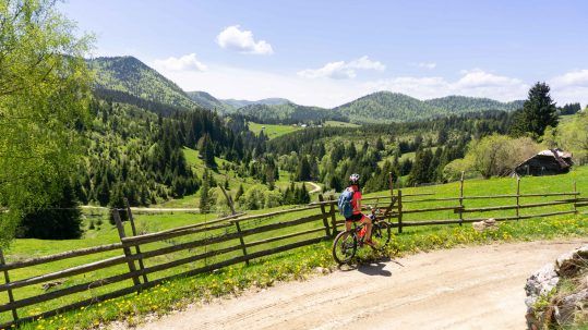
Transylvania MTB Ride: Sirnea
If you’re planning to visit Transylvania, particularly Brasov area and you’re also looking forward to some beautiful mountain biking routes, we totally recommend this one. A nice 50 km ride will enter...
-
Cycling around Dracula’s Castle – Piatra Craiului National Park
Dracula's Castle, an international landmark, is probably one of the most visited places in Romania but we are not going to talk about that. Nevertheless, we are going to talk about the cycling opport...
-
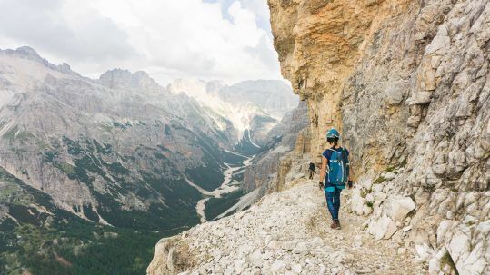
Italian Dolomites: Via Ferrata Giovanni Lipella (4C)
Via ferrata Giovanni Lipella is one of the most emblematic routes in the Dolomites. Not only are the views breathtaking but also the ferrata is a bit more challenging due to its length, altitude and e...
Ruth
Posted at 17:56h, 18 AugustBack in August of 2012 we did a ton of hiking in the Tatra mountains and loved every minute of it! This looked like a fantastic hike and gorgeous scenery.
http://www.travelwithkevinandruth.com
Karina
Posted at 22:41h, 18 AugustHello Ruth,
I am happy you reached this article, I can imagine it brought nice memories back!
I took a quick look at your site and I really want to congratulate the two of you for the way you chose to live and travel.
If you ever plan to visit Romania, please don't hesitate to contact us, we will be happy to give you good advices and tell you how and what to visit around.
Wish you all the best!
Ruth
Posted at 01:53h, 19 AugustWe would love to visit Romania and if we do we will certainly contact you for advice and places to visit and hike. Thank you! 🙂
Karina
Posted at 09:15h, 19 AugustYou are very welcome! 🙂